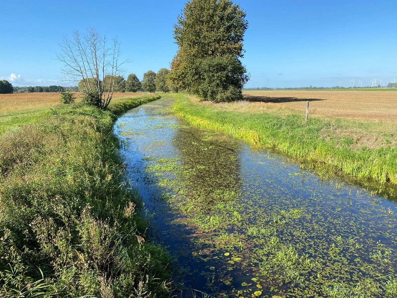
Tanger–Mittel- und Unterlauf
EU-Nr.: DE 3536 302
Landes-Nr.: FFH0034LSA
Jahr der Fertigstellung: 2021
Managementplan (PDF)
Maßnahmentabelle (PDF)
Karten:
© GeoBasis-DE / LVermGeo LSA, [010312]
Es gelten die Nutzungsbedingungen des LVermGeo LSA.
Schutzgebiete:
Karte 1 Teil 1 (PDF), Karte 1 teil 2 (PDF)
Biotope und Lebensraumtypen nach Anhang I der FFH-Richtlinie - Bestand:
Karte 2 Teil 1 (PDF), Karte 2 Teil 2 (PDF), Karte 2 Teil 3 (PDF), Karte 2 Teil 4 (PDF), Karte 2 Teil 5 (PDF)
Lebensraumtypen nach Anhang I der FFH-Richtlinie - Bestand und Bewertung:
Karte 3 Teil 1 (PDF), Karte 3 Teil 2 (PDF), Karte 3 Teil 3 v, Karte 3 Teil 4 (PDF), Karte 3 Teil 5 (PDF)
Arten nach Anhang II der FFH-Richtlinie - Bestand und Bewertung:
Karte 4a Teil 1 (PDF), Karte 4a Teil 2 (PDF), Karte 4a Teil 3 (PDF), Karte 4a Teil 4 (PDF), Karte 4a Teil 5 (PDF)
Arten nach Anhang IV der FFH-Richtlinie - Fortpflanzungs- und Ruhestätten:
Karte 4b (PDF)
Erhaltungsmaßnahmen sowie Entwicklungs- und sonstige Maßnahmen:
Karte 5 Teil 1 (PDF), Karte 5 Teil 2 (PDF), Karte 5 Teil 3 (PDF), Karte 5 Teil 4 (PDF), Karte 5 Teil 5 (PDF)
zurück zur Übersicht "Abgeschlossene Managementpläne"
Letzte Aktualisierung: 05.04.2022


