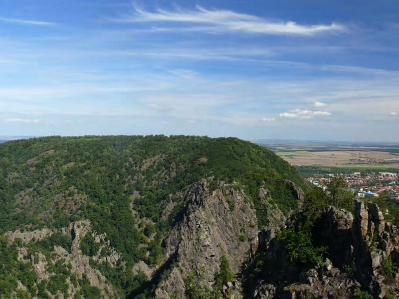
Bodetal und Laubwälder des Harzrandes bei Thale
und dazugehöriger Ausschnitt des EU SPA Nordöstlicher Unterharz
EU-Nr.: DE 4231 303 und DE 4232 401
Landes-Nr.: FFH0161LSA und SPA0019LSA
Jahr der Fertigstellung: 2011
Managementplan (PDF)
Fotodokumentation (PDF)
Anhang (PDF)
Karten:
© GeoBasis-DE / LVermGeo LSA, [010312]
Es gelten die Nutzungsbedingungen des LVermGeo LSA.
Karte 1 Potentielle natürliche Vegetation (PDF)
Karte 2 Schutzgebiet (PDF)
Biotoptypen:
Karte 3a (PDF) Karte 3b (PDF) Karte 3c (PDF) Karte 3d (PDF)
Lebensraumtypen nach Anhang I der FFH-Richtlinie:
Karte 4a (PDF) Karte 4b (PDF) Karte 4c (PDF) Karte 4d (PDF)
Karte 5.1 Arten nach Anhang II der FFH-Richtlinie (PDF)
Arten nach Anhang IV der FFH-Richtlinie:
Karte 5.2.1 (PDF) Karte 5.2.2 (PDF)
Karte 5.3 Brutvögel (Arten nach Anhang I der VS-Richtlinie und wertgebende Arten (PDF)
Maßnahmen für Lebensraumtypen nach Anhang I und Arten nach Anhang II der FFH-Richtlinie:
Karte 6.1a (PDF) Karte 6.1b (PDF) Karte 6.1c (PDF) Karte 6.1d (PDF)
Maßnahmen für Lebensraumtypen nach Anhang I und Arten nach Anhang II der FFH-Richtlinie:
Karte 6.2a (PDF) Karte 6.2b (PDF) Karte 6.2c (PDF) Karte 6.2d (PDF)
Karte 7 Maßnahmen für sonstige Biotope (PDF)
zurück zur Übersicht "Abgeschlossene Managementpläne"
Letzte Aktualisierung: 22.01.2020


