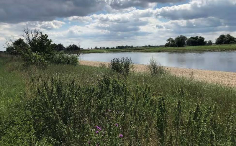
Elbaue zwischen Griebo und Prettin und Untere Schwarze Elster
einschließlich dem EU SPA-Gebiet Mündungsgebiet der Schwarzen Elster
EU-Nr.: DE 4142 301 / DE 4143 301 / DE 4142 401
Landes-Nr.: FFH0073LSA / FFH0071LSA / SPA0016LSA
Jahr der Fertigstellung: 2022
Managementplan (11,7 MB)
Maßnahmentabelle FFH0071LSA (523 KB)
Maßnahmentabelle FFH0073LSA (3 MB)
Karten:
© GeoBasis-DE / LVermGeo LSA, [010312]
Es gelten die Nutzungsbedingungen des LVermGeo LSA
Karte 1 Schutzgebiete (3,5)
Biotope und Lebensraumtypen nach Anhang I der FFH-Richtlinie - Bestand:
Karte 2.1 (5,6 MB) Karte 2.2 (6,1 MB) Karte 2.3 (6,8 MB) Karte 2.4 (6,1 MB) Karte 2.5 (6 MB) Karte 2.6 (5,4 MB) Karte 2.7 (5,4 MB) Karte 2.8 (2,8 MB)
Biotope und Lebensraumtypen nach Anhang I der FFH-Richtlinie - Bestand und Bewertung:
Karte 3.1 (5 MB) Karte 3.2 (5,3 MB) Karte 3.3 (5,2 MB) Karte 3.4 (5 MB) Karte 3.5 (5,1 MB) Karte 3.6 (4,2 MB) Karte 3.7 (4,5 MB) Karte 3.8 (2,5 MB)
Arten nach Anhang II der FFH-Richtlinie - Bestand und Bewertung:
Karte 4a-1 (4,5 MB) Karte 4a-2 (4,5 MB) Karte 4a-3 (4,2 MB) Karte 4a-4 (4,3 MB) Karte 4a-5 (4,6 MB) Karte 4a-6 (3,8 MB) Karte 4a-7 (4,2 MB) Karte 4a-8 (2,5 MB)
Arten nach Anhang IV der FFH-Richtlinie - Bestand und Bewertung:
Karte 4b-1 (4,4 MB) Karte 4b-2 (4,5 MB) Karte 4b-3 (4 MB) Karte 4b-4 (4,3 MB) Karte 4b-5 (4,6 MB) Karte 4b-6 (3,9 MB) Karte 4b-7 (4,4 MB) Karte 4b-8 (2,5 MB)
Nachweise und Habitatflächen von Brut- und Gastvogelarten - Bestand und Bewertung:
Karte 4c-1 (5,1 MB) Karte 4c-2 (4,7 MB) Karte 4c-3 (4,8 MB)
Erhalttungsmaßnahmen sowie Entwicklungs- und sonstige Maßnahmen:
Karte 5.1 (4,5 MB) Karte 5.2 (5 MB) Karte 5.3 (4,7 MB) Karte 5.4 (4,7 MB) Karte 5.5 (3,2 MB) Karte 5.6 (4,4 MB) Karte 5.7 (4,6 MB) Karte 5.8 (2,4 MB)
zurück zur Übersicht "Abgeschlossene Managementpläne"
Letzte Aktualisierung: 22.05.2024


